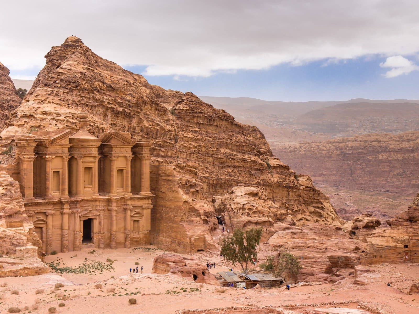
Imagine standing in a vast field, equipped with tools that can reveal hidden treasures beneath the surface. Archaeologists are akin to detectives, using a variety of techniques to uncover the secrets of ancient civilizations. From cutting-edge technologies like ground-penetrating radar to traditional methods such as fieldwalking, the arsenal of survey techniques is diverse and essential for piecing together the puzzle of our history.
But how do these tools actually work, and what stories do they tell about the past?
Remote Sensing Technologies in Archaeology
Utilizing an array of advanced tools and techniques, remote sensing technologies play a pivotal role in modern archaeological surveys by enabling the non-invasive detection and mapping of archaeological sites and features. These technologies, including ground-penetrating radar, aerial photography, LiDAR, and satellite imaging, provide archaeologists with valuable insights into the past without physically disturbing the sites.
Aerial photography captures high-resolution images of the Earth's surface, allowing archaeologists to identify surface features and potential archaeological sites from above. This technique is particularly useful in providing an initial overview of large areas and detecting anomalies that may signify buried structures or artifacts.
LiDAR, or Light Detection and Ranging, is highly effective in densely vegetated regions where traditional survey methods may be hindered. By using laser pulses to penetrate vegetation and terrain, LiDAR can reveal hidden archaeological features beneath the forest canopy, offering archaeologists a thorough view of the landscape.
Satellite imaging, another remote sensing technology, provides archaeologists with a wide-scale perspective, enabling the monitoring of changes to archaeological sites over time. This tool aids in tracking landscape alterations, identifying new sites, and understanding the extent of human impact on the environment.
Ground-Penetrating Radar for Surveying
Ground-Penetrating Radar (GPR) is a non-invasive geophysical technique extensively employed by archaeologists for subsurface surveying purposes. GPR sends radar pulses into the ground, which bounce back when they encounter changes in soil composition or buried features like walls, artifacts, or structures. The data collected from GPR surveys helps create subsurface images showing anomalies that could indicate archaeological features without disturbing the site.
Here are three key points about Ground-Penetrating Radar:
- Important Detection: GPR is effective in detecting buried structures, pathways, and anomalies up to several meters deep, providing valuable insights into the hidden archaeological landscape.
- Complementing Survey Techniques: Archaeologists use GPR alongside other survey techniques to map out subsurface features and plan targeted excavation strategies for further investigation.
- Preservation of Sites: By allowing archaeologists to visualize subsurface features without the need for extensive excavation, GPR aids in the preservation of archaeological sites by minimizing disturbance while still providing important data for research and interpretation.
Traditional Excavation Methods and Techniques
Excavation in archaeology involves the systematic uncovering and recording of artifacts and features within a designated site using a variety of traditional methods and techniques. Mattocks and trowels serve as essential tools for archaeologists during excavation, allowing them to carefully unearth artifacts and architectural remains. For precise measurements, dumpy levels, theodolites, and total stations are employed to guarantee accurate recording of strata and features. The process of traditional excavation requires meticulous recording of artifacts, architectural remains, and detailed strata information to understand the history of a site thoroughly.
In traditional excavation methods, one of the key techniques involves soil removal in layers, known as strata. By excavating in layers, archaeologists can uncover the sequence of human activity and changes that occurred at the site over time. Additionally, creating site grids and recording the exact location of artifacts within these grids are essential for maintaining the spatial context of findings. This detailed approach to excavation allows researchers to piece together the history of a site accurately, understanding the cultural and historical significance of the artefacts and architectural remains discovered. Traditional excavation methods play a crucial role in exploring and interpreting the past through the physical remnants left behind at archaeological sites.
Geophysical Survey for Archaeological Exploration
The exploration of archaeological sites has expanded to include geophysical surveys, employing tools such as magnetometers, radar, and electromagnetic conductivity meters to detect subsurface features and anomalies without the need for excavation. These advanced techniques provide archaeologists with valuable insights into what lies beneath the surface, shaping their excavation strategies and understanding of ancient civilizations.
- Magnetometers: These instruments are vital for identifying buried structures like walls, ditches, and hearths by detecting variations in magnetic fields. Archaeologists can map out the layout of ancient settlements and pinpoint potential excavation areas based on the readings obtained from magnetometer surveys.
- Ground Penetrating Radar (GPR): GPR plays a significant role in mapping underground features such as walls, pits, and burial sites. By sending radar pulses into the ground and analyzing the reflected signals, archaeologists can create detailed subsurface images without disturbing the archaeological site, aiding in the preservation of delicate artifacts and structures.
- Data Analysis for Site Layouts: The data collected from geophysical surveys help archaeologists in understanding the layout of archaeological sites. By analyzing anomalies and subsurface features, researchers can create detailed site maps, identify areas of interest for further investigation, and plan excavation strategies effectively.
Fieldwalking and Subsurface Testing in Surveys
Fieldwalking and subsurface testing methodologies in archaeological surveys facilitate the systematic collection and documentation of surface artifacts and soil samples, contributing greatly to the understanding and mapping of archaeological material within target areas.
Fieldwalking involves walking through designated areas to collect surface artifacts, making it particularly effective in plowed fields where artifacts are brought to the surface through the plowing process. On the other hand, shovel testing, a method of subsurface testing, includes digging small holes at regular intervals to screen soil for artifacts. This technique not only aids in efficient surveying but also plays a vital role in development planning by mapping the locations of artifacts found during the survey.
Both fieldwalking and shovel testing are essential components of archaeological surveys, supervised by trained archaeologists. The careful execution of these techniques plays an important role in the accurate identification and documentation of archaeological material. By systematically gathering surface artifacts and screening soil for subsurface finds, archaeologists can create a full picture of the archaeological landscape within the surveyed areas. This detailed understanding of the distribution of artifacts is invaluable for interpreting past human activities and informing future conservation and development decisions.


